
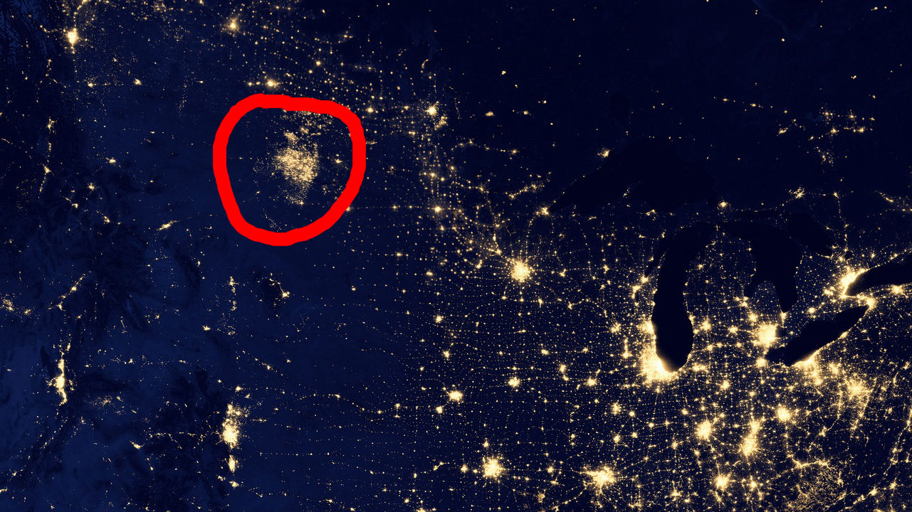
The above image comes from NASA’s Black Marble series of satellite photos, which caused quite a stir when it was released online last month–look at all the beautiful lights, the tiny cities! But as it turns out, one of those clusters of illumination isn’t a city at all; it’s an enormous cluster of fracking outposts, sending hundreds of flares into the sky and creating a span of light the size of greater Boston.
The light in question is in North Dakota, near the Montana border (in case you couldn’t find it, I’ve given you a subtle, understated hint above).
New Scientist explains:
Flaring is a way to burn off excess natural gas during oil production, but the process effectively wastes a natural resource while simultaneously emitting carbon dioxide into the atmosphere. As of 2011, more than 35 per cent of North Dakota’s natural gas production was burnt off in flares, according to a study done by the U.S. Energy Information Administration.
The same study reported that in 2009, on average, less than 1 per cent of the total amount of natural gas produced in the US was lost to flaring. By those standards, the Bakken formation in North Dakota sticks out as a staggeringly flaring-heavy drilling site and the island of light in this picture only helps make that case.
