
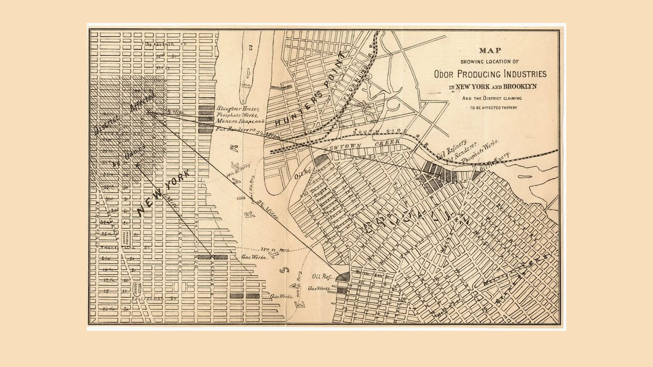
CityLab has obtained a circa-1870 “stench map,” which shows the locations of what were called “offensive trades,” or industries that made the city stink. 19th century medical science believed that bad smells and tainted air caused diseases like cholera. The map was created by the New York Metropolitan Board of Health and can be found at Columbia University’s Rare Books and Manuscript Library.
Many of the offending industrial sites are along the Newtown Creek in Brooklyn, which is still the home of many smelly operations, like the Newtown Creek Wastewater Treatment Plant. CityLab points out that many of the former “offensive trade” locations are now Superfund sites, so old-time public health advocates weren’t wrong when they knew these places were making people sick.
(Photo: CityLab/Columbia University)
