Tag: twitter topography
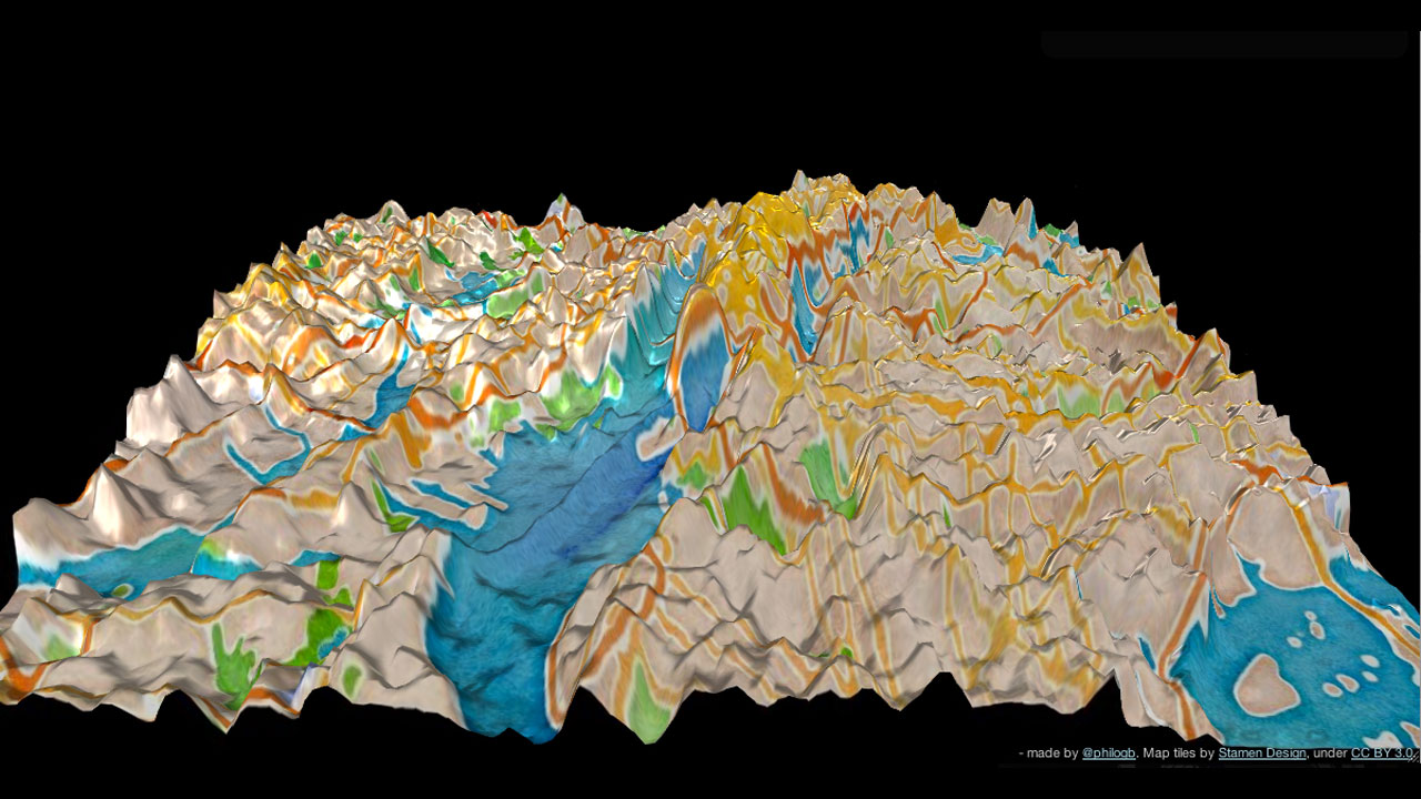
Elevation levels? Latitude? Who cares! Now you can learn the lay of the land based on Twitter activity. Andes is a topographical visualization of geo-located tweets and their frequencies — in New York City (above), San Francisco, and Istanbul. Created by data visualization scientist Nicholas Garcia Belmonte, the 3D-interactive maps depict Twitter usage as towering peaks — the […]