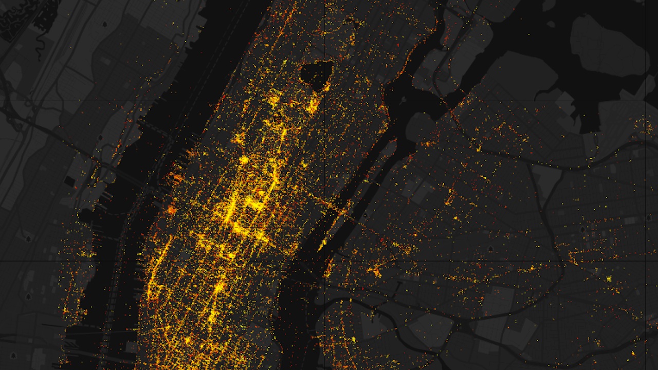
So, this thing is supposed to “explore the spatial structures of Flickr tags” to “generate temporal city level maps,” which, okay, fine, whatever–but really it’s just a nice way to see photos from NYC (and a bunch of other cities) laid out on a map based on where they were taken. Yes, there are fancy features that let you filter by tag–let’s see what’s tagged “sexy” in your area, heh heh heh–but really they’re just icing on a cake. And it works really well! Here’s a photo of some dogs in our office I just found. Check it out below.


