
Twenty years is enough time for a New York neighborhood to change beyond the point of recognition, so it’s hard to fathom just how much change the city has experienced since it was founded in 1624, but a new tool by Vestiges of New York attempts to do just that. Orian Breaux is the creator of “NYC Time Machine,” an interactive map that overlays present-day maps from Google maps over maps dating back to 1660, made available by the New York Public Library. In an email to Bowery Boogie, Breaux explained: “My perspective is that the intersection of history+tech can engage new audiences and help people discover the world around us in novel ways.”
Here are a few of the maps:
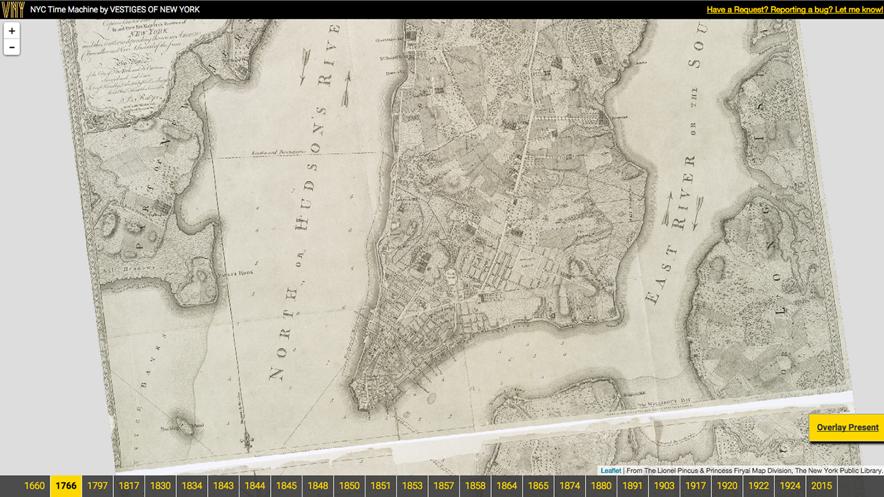
 New York 1660
 New York 1834
 New York 1924
(Image: Vestiges of New York)
