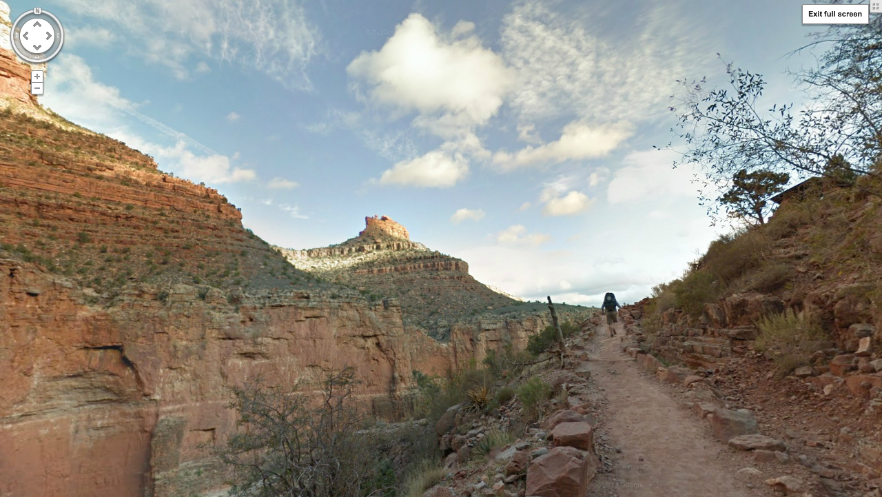
Having stitched together over 9500 images, Google Street View team set live today their 75 mile, 360-degree documented hike down two main trails at Grand Canyon Nation Park (address is approximate).
Google sent out three teams of two each equipped with a Trekker, a lighter, miniature version of their cameras previously strapped to vans, trikes and snowmobiles used to collect street images around the world.
Wired describes the Trekker as “a backpack-like camera that takes 75-megapixel photos and weighs 40-pounds. Jutting out of the pack is an orb that houses a cluster 15 lenses, which shoot a 360-degree photo every 2.5 seconds.”
This canyon trip served as a kind of prototype mission meant to work out the kinks for future treks, including all other US national parks and landmarks around the globe. Nothing broke, Google says, which is really good news.
“We want to take Trekker to the most amazing places in the world,” Google Maps Product Manager Ryan Falor tells Wired, “everywhere people want to go and see, and all sorts of places that most people don’t even know exist.”
Yey for “going” places?


