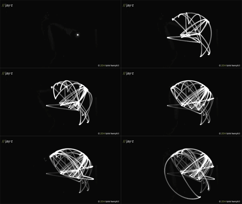
The arsty-analytical online project Staplecrops has created an abstract visualization of every geographical location mentioned in the lyrics of artists like Jay-Z and Kanye West. Converting the place names — like “Brooklyn” or “Paris” — into geo-coordinates, they then used a robotic arm holding a light pen to trace them from point to point, creating a lingering image.
The videos of the series “Maximum Distance. Minimal Displacement.” are part of a larger data analysis project called Hip Hop Word Count, which Eyebeam describes as “a searchable ethnographic database built from the lyrics of over 40,000 Hip-Hop songs from 1979 to present day.”
Inspired by Pablo Picasso’s light pen drawings Maximum Distance. Minimum Displacement. uses abstracted semantic rap data to create sculptural forms with light. The forms represent the distance travelled by the lyrics in each song.
(Brief) Methodology: I used the Hip Hop Word Count’s new semantic analysis results to extract all geographic mentions from the complete bodies of work of 12 rappers. These locations were translated into geo coordinates which were then made into points that plotted the robot arm’s movements. The robot arm drew each path while holding a light pen.


(GIF: Prosthetic Knowledge)


