Tag: Google Earth
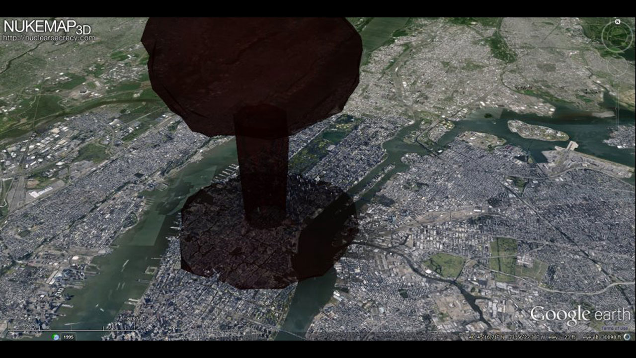
Who wants to play a nice game and virtually simulate a nuclear destruction? NukeMap 3D is a nuclear explosion modeling program created by atomic weapon historian Alex Wellerstein. Using data from Google Earth, the program lets you visualize the effects of an atomic blast in your city (in 3D, if you have the Google Earth […]
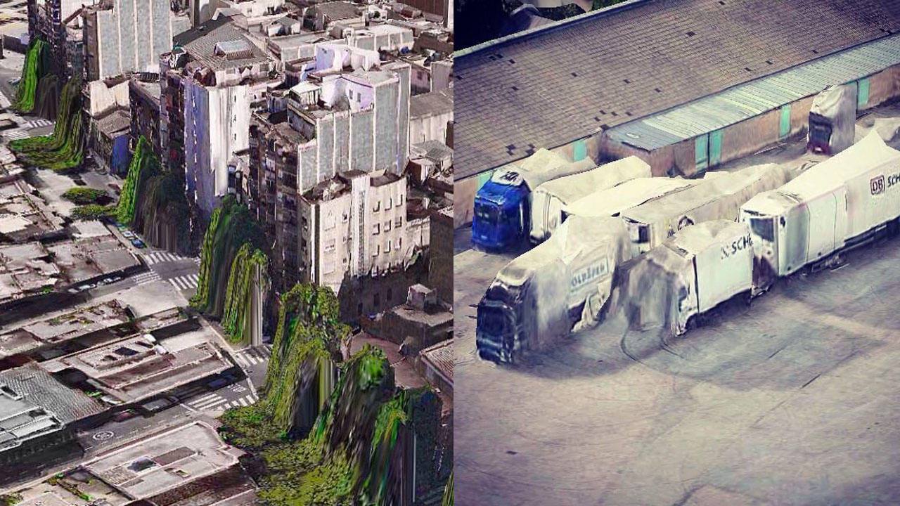
Google Earth has glitches. These glitches make great art. Trapcode founder Peder Norrby’s series of well-executed screen captures of glitched out iOs map images give us a vision of a post-nuclear-holocaust world. From trees melting into the streets and flattened cars on collapsed highways to a deadlier Coney Island Cyclone, these images — produced, as always, by malfunctioning algorithms — offer […]
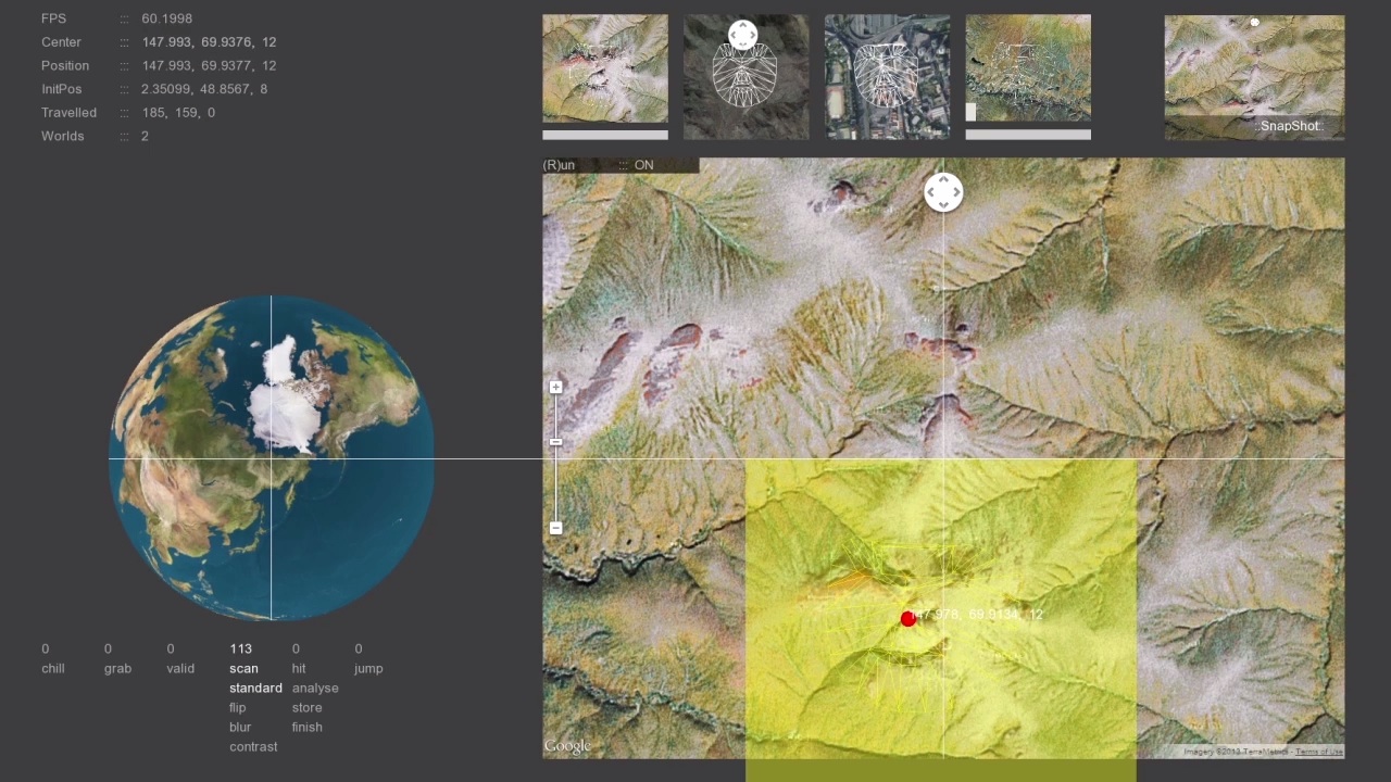
This is one of those projects whose premise basically speaks for itself. A group of digital artists developed a program that runs Google’s satellite images of Earth through facial recognition software, finding the faces that are hidden on the planet’s landscape. Watch the brilliant software at work below, and see some of its findings in […]
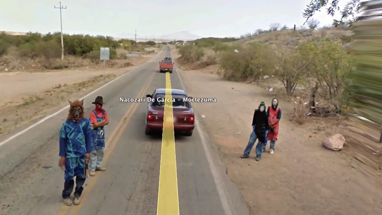
We’ve seen decisive moments captured in Google Street View by photographers Michael Wolf. We’ve seen the cinematic edge of rough neighborhoods in Doug Rickard work. We loved how Clement Valla explored the glitching of the real world through this interface. Steve Strip’s video for “Hood” is all of those things, plus live capture of swooping in bird-eye […]