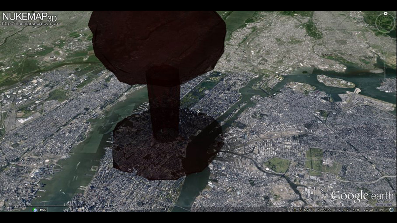
Who wants to play a nice game and virtually simulate a nuclear destruction?
NukeMap 3D is a nuclear explosion modeling program created by atomic weapon historian Alex Wellerstein. Using data from Google Earth, the program lets you visualize the effects of an atomic blast in your city (in 3D, if you have the Google Earth browser plug-in).
Now remember, kids, the higher the kilotons, the broader the impact. So if North Korea were to hit Times Square with that bad boy they tested earlier this year, people in the outer boroughs (and even below the Flatiron District) would be A-OK. But if the USSR had followed through with their 100,000 kiloton Tsar Bomba, all of New York City — along with North Jersey, most of Long Island, and Southwestern Connecticut — would now be a barren, toxic wasteland. (Pfft, what else is new, amirite?)
“We live in a world where nuclear weapons issues are on the front pages of our newspapers on a regular basis, yet most people still have a very bad sense of what an exploding nuclear weapon can actually do,” Wellerstein writes. “Some people think they destroy everything in the world all that once, some people think they are not very different from conventional bombs. The reality is somewhere in between: nuclear weapons can cause immense destruction and huge losses of life, but the effects are still comprehendible [sic] on a human scale.”


