
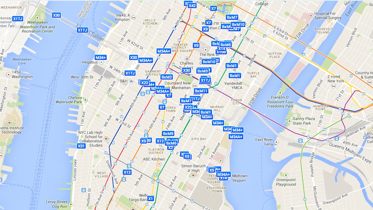
If you’re traveling through Manhattan, the Bronx, Staten Island or certain parts of western Brooklyn, the MTA’s Bus Time data is an invaluable tool. Sure, you can always just check the schedule to see when a bus is supposed to arrive, but Bus Time tracks where the buses actually are, predicting when one will arrive at your stop down to the minute.
With that data in hand, redditor transitmaps created this map, which plots the location of every applicable bus in real-time. As I write this, I can see a B63 ambling down 5th Avenue towards Union Street in Park Slope, for example, and an M34 making its way to 9th Avenue in Manhattan.
Transitmaps, a self-described “struggling programmer,” says the map is still “very much in beta,” and the long loading time and occasional sluggishness support that, but the map is an impressive, useful feat nonetheless.
