
Artist Josh Begley’s most recent project is a website that collects satellite photography of all 4,916 prison facilities in the U.S. and puts them on one page for you to scroll through and weep. Begley says that he hit on the idea while he was in a data visualization class at NYU:
When discussing the idea of mass incarceration, we often trot out numbers and dates and charts to explain the growth of imprisonment as both a historical phenomenon and a present-day reality.
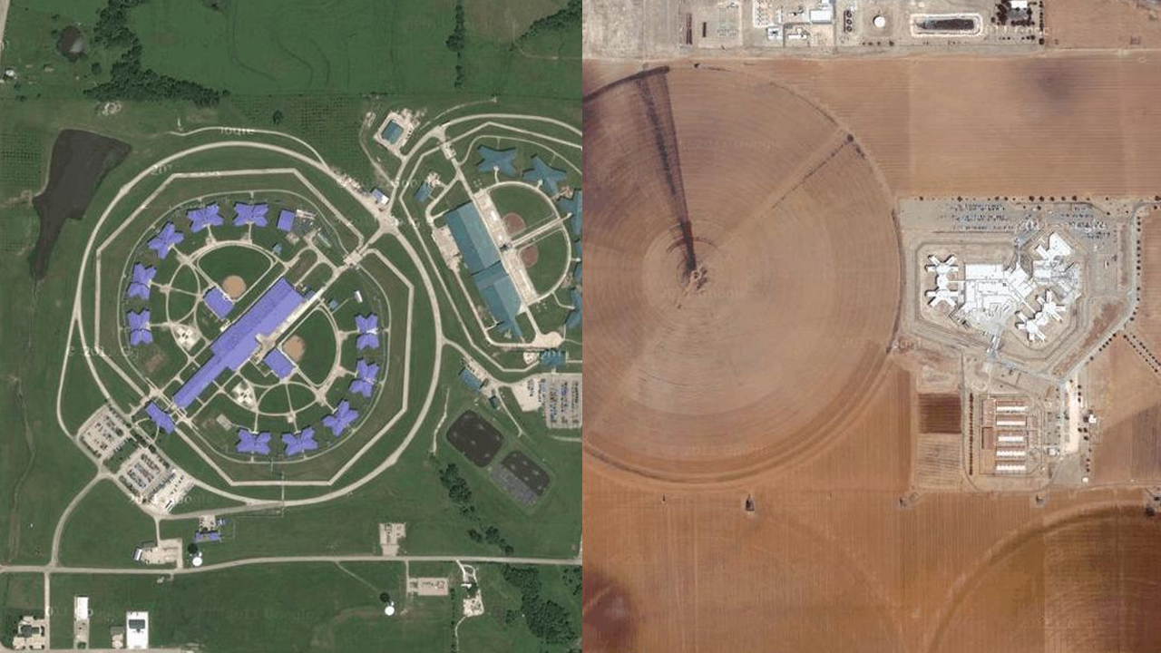
But what does the geography of incarceration in the US actually look like? Prison Map is my attempt to answer that question.
It begins from the premise that mapping the contours of the carceral state is important.
Using a list of coordinates for all of America’s correctional institutes, the artist wrote some code to feed the locations into Google Maps and take a photo of each site, which he proceeded to upload onto the web. There ended up being so many prisons that Begley decided to only feature about 14% (700) of them on the main page, featuring them all takes quite a while to load but the true impact comes when you look at the full set.
According to Pete Brook, editor of PrisonPhotography.org, “Since 1980, the US prison population has exploded from fewer than 500,000 to more than 2.2 million. That’s prompted a prison building boom, mostly in rural America.” Brook interviewed Begley for Wired and the young data cruncher says, “If the United States is in the business of warehousing black and brown bodies, I think it’s important to sketch the contours of what that means.”
Brook has organized an exhibition that highlights many facets of the prison industrial complex and Begley’s work is just one of many projects that are featured. Titled “Prison Obscura,” the traveling show will open at Parson’s New School For Design in New York this February.
(Photo: Prison Map)
