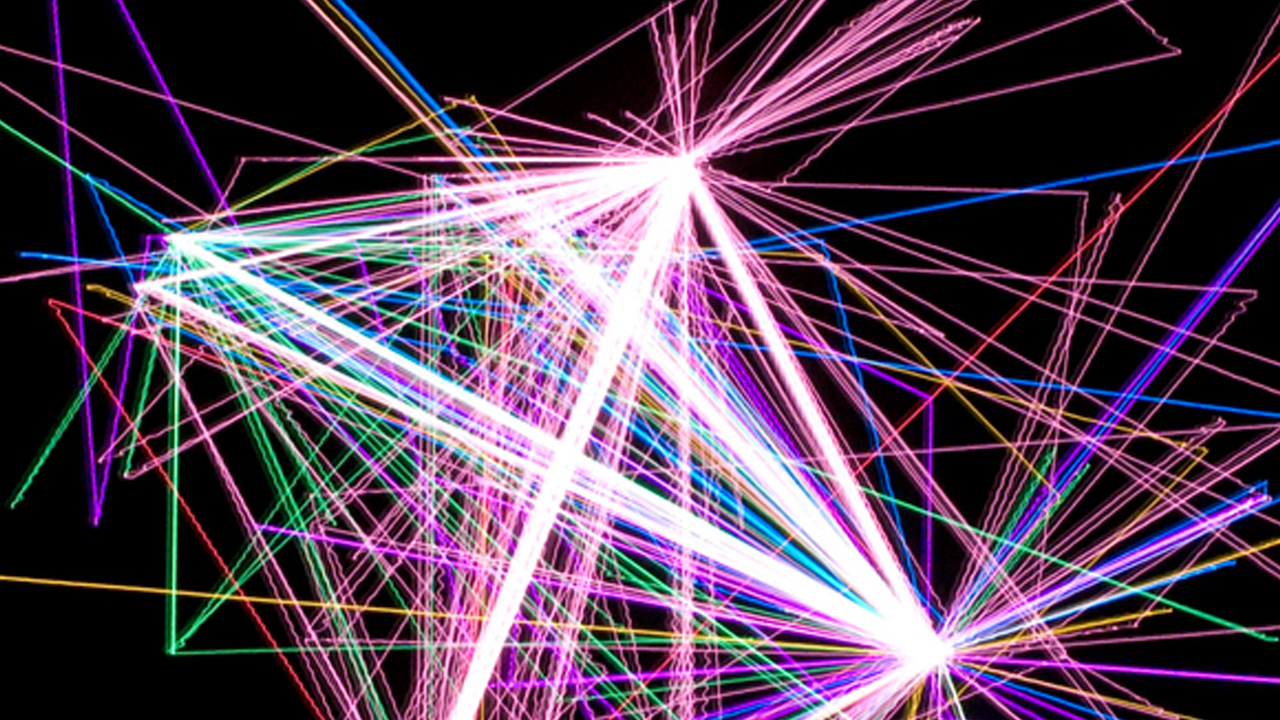
Using an XY Plotter, a few LED lights and a laboriously programmed Arduino microprocessor, artist Stephen Cartwright has created a series of long exposure photos based on his own exact GPS-location data since 1999.
Since the inception of Cartwright’s latitude and longitude recording project, he has searched for appropriate ways to visualize this massive collection of data without compromising the concept of the project “recording an object moving through space over time.” This is very fitting.
Since 1999 Stephen Cartwright has recorded his exact latitude, longitude and elevation every hour of every day. Cartwright uses digital and traditional fabrication techniques to translate hic collected data into his sculptural projects. Since the inception of the Latitude and Longitude recording project Stephen Cartwright has completed several grand bicycle journeys through North America, Europe and Asia, totaling more than 20,000 miles. Prolonged observation of his location has led Cartwright to his recent work investigating the use and alteration of the landscape.


