
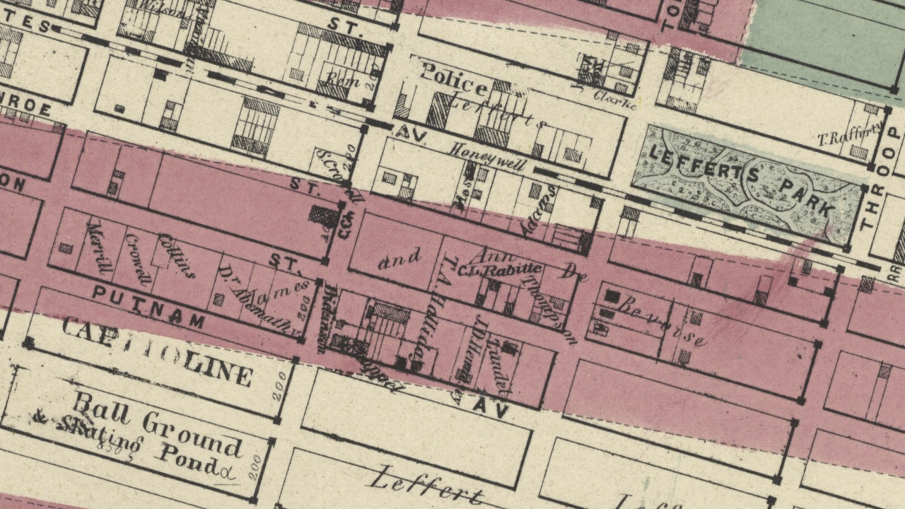
The New York Public Library just released an embarrassment of riches for cartography nerds everywhere: the institution’s collection of 20,000 vintage maps are now free to download and use in ridiculously high resolution. There’s plenty of vintage NYC goodness to peruse, and maps from other cities as well. The full-res section of this circa-1855 map of Bed Stuy and Crown Heights above shows just how detailed they are.

Looking at this map in particular, it’s amazing how much of the area’s current layout was already in place a century and a half ago — nearly all of the streets retain their names from this era, and several current-day parks and public squares are there, too.
Not new but worth mentioning is the library’s Map Warper program, which allows you to superimpose a historical map onto the area’s current landscape. Here’s the same vintage Brooklyn map on top of Bed Stuy and Crown Heights today.

The Library says it believes the maps are subject to no copyright, but just in case, it has licensed them under a Creative Commons CC0 1.0 Universal Public Domain Dedication, meaning you can legally do just about anything you’d like with them.
Some caveats: you’ll have to create a (free) account to download anything, and at times, the service can be excruciatingly slow. Considering the richness of the collection and the lack of copyright, however, these feel like small prices to pay. Just because we can, here’s a big, beautiful map of Prospect Park next to the Brooklyn land on which it sits, as it looked before construction. Enjoy!

